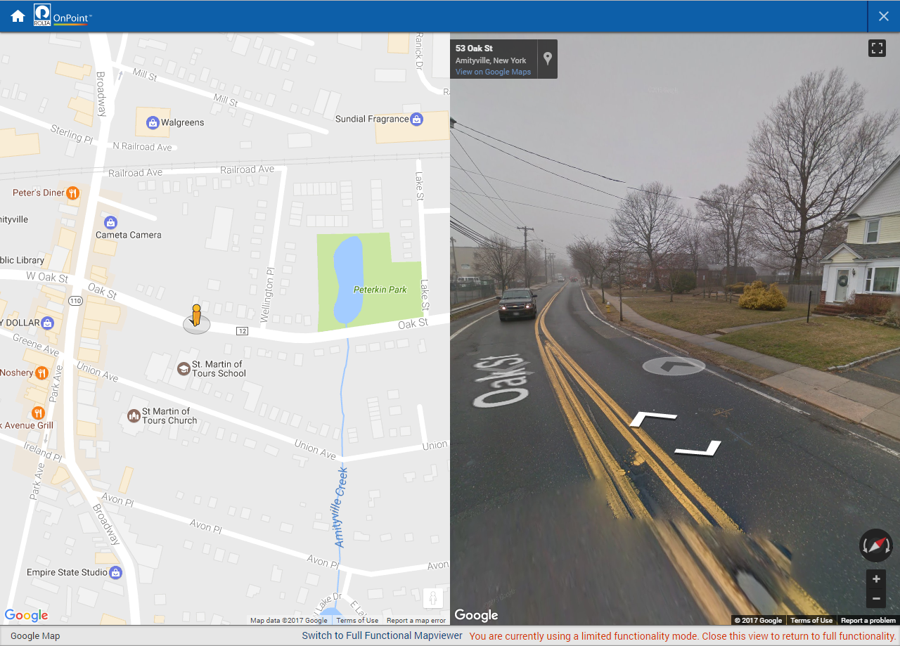
Using Google Street View
The Google Street View is a map that shows photographic images in all directions at street level. Navigation tools allow you to pan along the street and change the viewing direction. You can also use the Pegman icon

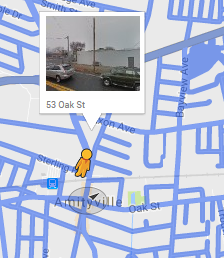
to change the location of the street being viewed.
NOTE: | Google Street View may not have imagery data for all streets in the areas you are searching. |
1. Do one of the following:f
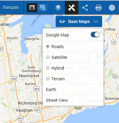
• From the Base Maps drop down list, select Street View.
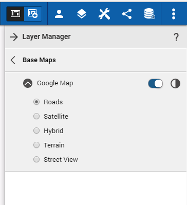
• Open the Layers Manager, select Base Map, expand Google Map and select Street View.
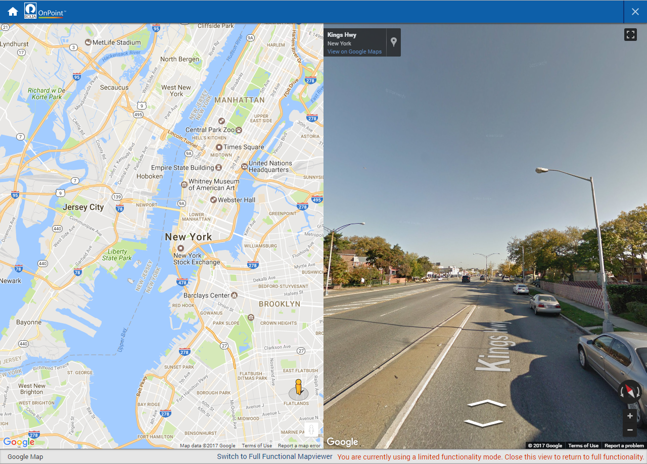
The Street View window appears on the map.
2. Drag the Pegman icon to an area on a street that you want to view.
When you start to drag the Pegman over the map, all streets that have Street View imagery are outlined in blue.
When you release the mouse, the Street View window refreshes to show the street you have selected.
3. Use the arrows in the Street View window to move along the street or use the pan tool to pan the map.