Using Map Tip tool
Document links provide you with a mechanism to link a feature on a map displayed in an OnPoint web-GIS application to one or more documents. Once you configure a link between a feature and document, authorized OnPoint web-GIS application users can access the document from an Identify, Selection or Results dialog box. You can configure link paths to documents residing in:
• A Web share, that is, a website URL.
• An external portal or document management system with web-based access, which may or may not require user authentication parameters.
• A database table column, for example, a blob field.
• A local or wide area network path
If Network documents are configured for landmarks then they will appear in the landmark selection at a time of viewing network documents. If Web share documents are configured for municipality layer then they will appear in the municipality selection, If External documents are configured for building layer then they will appear in the building selection and if the database documents are configured for then they will appear in the for parcel layer.
Documents that are configured for the corresponding layers in the Admin console the same corresponding documents will appear in the corresponding layer selection in website.
1. In the
OnPoint website, to open the
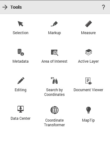
Tools pane, from the command bar, select

. The
Tools pane appears in the
OnPoint website.
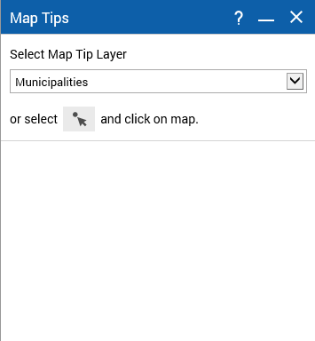
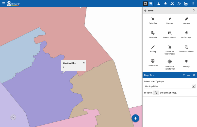
2. From the Tools pane, click on the MapTip option. The Map Tips window appears.
3. Click on the map to view the map tips. as shown in figure below.pane, click on the MapTip option. The Map Tips window appears.