Viewing metadata
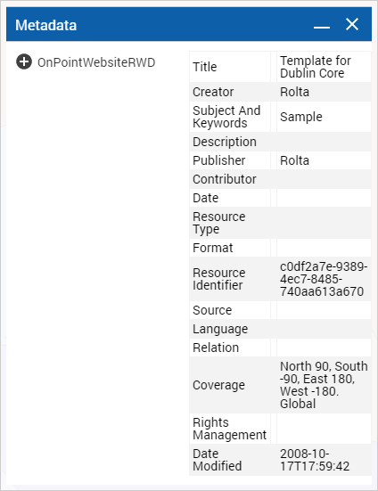
Metadata is information about the map data that is made available in a structured format. Metadata can provide information that you can use to analyze the quality of the map data, such as coordinate and projection systems.
1. To open the Tools pane, from the command bar, select

.
2. From the Tools pane, select Metadata.
3. In the tree that appears to the left, select the layer whose associated metadata you want to view. The associated metadata is displayed in the larger pane to the right.