Using Document Viewer
Document links provide you with a mechanism to link a feature on a map displayed in an OnPoint web-GIS application to one or more documents. Once you configure a link between a feature and document, authorized OnPoint web-GIS application users can access the document from an Identify, Selection or Results dialog box. You can configure link paths to documents residing in:
• A Web share, that is, a website URL.
• An external portal or document management system with web-based access, which may or may not require user authentication parameters.
• A database table column, for example, a blob field.
• A local or wide area network path
If Network documents are configured for landmarks then they will appear in the landmark selection at a time of viewing network documents. If Web share documents are configured for municipality layer then they will appear in the municipality selection, If External documents are configured for building layer then they will appear in the building selection and if the database documents are configured for then they will appear in the for parcel layer.
Documents that are configured for the corresponding layers in the Admin console the same corresponding documents will appear in the corresponding layer selection in website.
There are three ways to view the documents from the document viewer.
Related topics
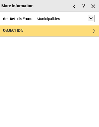
Using Info option:
1. From the OnPoint™ Mapviewer, click on the Show Tools button

, which is available in the bottom-right corner.
2. Click on the Info icon

and click on the map. the More Information window appears in the left pane of the OnPoint™ Mapviewer
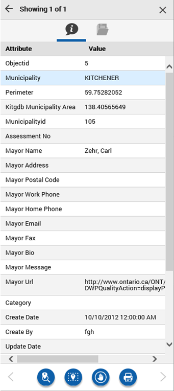
3. From the More Information window, click on the option given for details. The Attribute details appears.
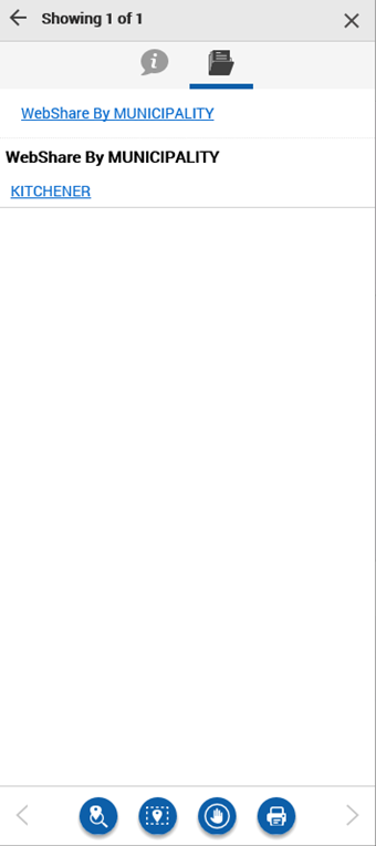
4. Click on the WebShare tab to view the webshare documents available.
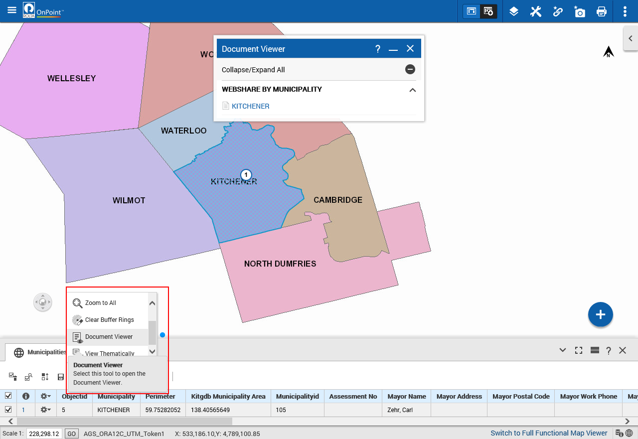
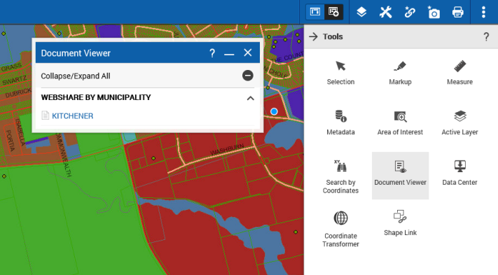
Using Document Viewer Tool:
1. In the OnPoint™ Mapviewer, to open the Tools pane, from the command bar, select

.
2. From the More Tools pane, select Document Viewer and click on the map. The Document Viewer window appears with the list of documents for the selected map location
3. Click on the documents available.
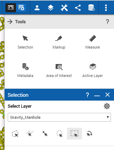
Using Selection Tool:
1. In the OnPoint™ Mapviewer, to open the Tools pane, from the command bar, select
.
2. From the More Tools pane, select Selection
3. In the Selection Layer field, select the type of map feature you want to view.
4. In the Zoom Mode field, select either Zoom To Selections to have the map zoom in or out to show all the results.
5. The Result list appear at the bottom of the screen.
6. From the more options menu list, select the Document Viewer option. The Document Viewer window appears with the list of documents for the desired map selection.
7. Click on the documents available.
- Related Topics
 0-
0-